Today we headed north again up to the city of Page. Page is the location of the Glen Canyon Dam and Lake Powell. The Dam was built from 1956 to 1966 near what became the town of Page. It is a 710 ft high dam built by the Bureau of Reclamation and it forms Lake Powell one of the largest man made reservoirs in the US with a capacity of more than 25 million acres. Lake Powell was named for John Wesley Powell, who in 1869 led the first expedition to traverse the Colorado River’s Grand Canyon by boat. A dam in Glen Canyon was studied first in 1924 but the plans were dropped in favour of the Hoover Dam. It took from 1966 to 1980 for Lake Powell to reach its full capacity. During years of drought, Glen Canyon guarantees a water deliver to the Lower Basin States of Arizona, Nevada and California, while maintaining equitable distribution of water to the Upper Basin of Colorado,, Wyoming, New Mexico and Utah and it wet years it captures e-transfer runoff for future use.

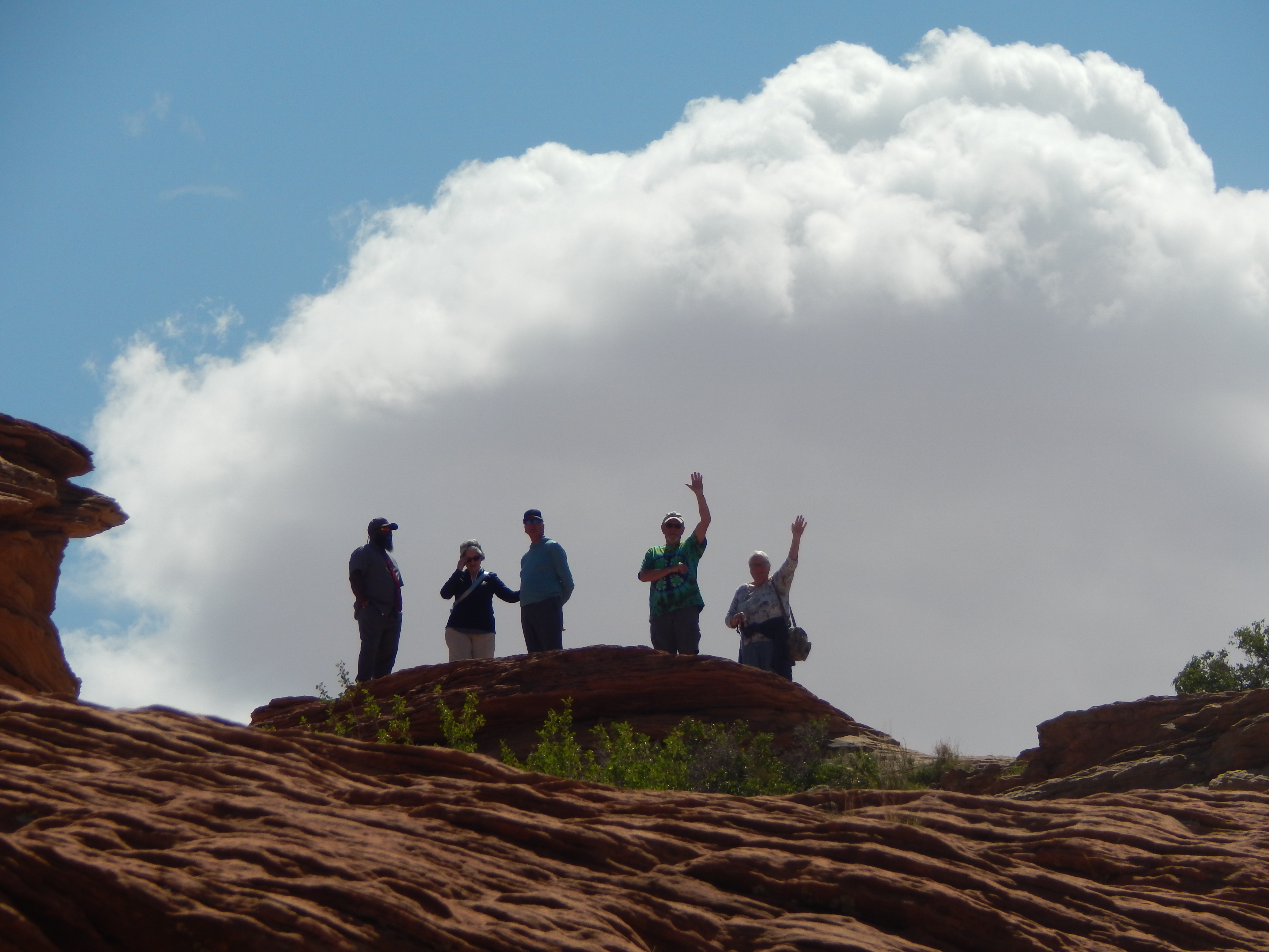
I walked down the pathway to get that picture of the dam, thankfully there was a railing all the way down. You can see Brenda and Len in the next picture, they didn’t make the trip down. They are the ones waving.

We did head to the dam visitor centre but unfortunately it was closed. We have been finding some of the tourist places closing down on certain days because of staffing issues. The same thing happened at the Grand Canyon. We tried to go the local museum but again closed, but the tourist information centre was open. They had this very neat hand carved relief map of the entire Glen Canyon Dam Area.
It took 17 years for Lake Powell which is located mainly in Utah to reach its capacity if 24,322,000 acre feet of water. We learned that one acre feet its the equivalent of a foot ball field with a foot of water deep across the entire field. Since 2000 the area has been in a drought and the current water levels in Lake Powell are only 5,323,687 acre feet of water. Even though this year has been a record year for snowfall they don’t really expect it to raise the level up enough to make a difference.
We then went to see Horseshoe Bend. It is a horseshoe shaped meander in the Colorado River. It is located about 5 miles from the dam and there is a 1.5 mile round trip walk to the overlook.
It is quite spectacular to see, the pictures really don’t do it justice. It used to be completely open but they have added railings around some of the edges so it is a bit safer. We did see a speed boat going up river as well as some kayakers. There seems to be small camps located along the shores for people floating the river.
We then headed back towards Flagstaff and stopped at a viewpoint on the road to check out some Navajo women who were selling their jewelry. I found a very simple journey symbol with a small fire opal gem in it. The woman I purchased it from said it was a symbol of taking on new life or paths. I said that I was getting my knee replaced on June 6th so this would help me make a new path way. I don’t really wear jewelry but Len convince me that this was a simple piece and it suited me.
We then decided to check out Marble Canyon, we saw the sign on the side of the road and decided to take it. We stopped on the side of the highway to take a couple of pictures of the red rocks and the fields of these beautiful orange flowers.
Marble Canyon is home to the Historic Navajo Bridge. This bridge was opened on Jan 12, 1929 and it was the only bridge across the Colorado River for 600 miles and it was a vital link in the first direct highway between Arizona and Utah. At the time it was the highest steel arch bridge in the world. In 1929 this bridge replaced the Lees Ferry river crossing. It was so significant that over 5000 people attended the dedication ceremony. When the original bridge was built, it was never intended to carry the larger, heavier vehicles of today. A second bridge wider and stronger but still in keeping with the original needed to be built. They built the new bridge right beside the new one and it is hard to tell the difference.
This is the new one
This is the old one
Here are the two of them side by side
This is the Colorado River below the bridges
Our next stop was a neat little place called Hatch which has these little houses made out of rocks that have fallen off the cliff side, it is called cliff dwellings.
Our last stop was at the Lees Ferry landing. This is an area where in 1871 at the mouth of the Paris River and the Colorado river the Mormons in the area built a ferry which was operated by John Lee, the areas namesake. It was the only crossing for miles. Thousands of pioneers crossed on the ferry on the “Honeymoon Trail” because recently married Mormons from new settlements in Arizona travelled this route to St. George, Utah to have their marriages sanctioned in the Mormon Temple. Now it is used as the starting point for river travel through the Grand Canyon.
There is a large parking area for people to leave their vehicles while they traverse the river and a very nice campground.


No comments:
Post a Comment